Events
Join Us
Type in your search and hit Enter on desktop or hit Go on mobile device
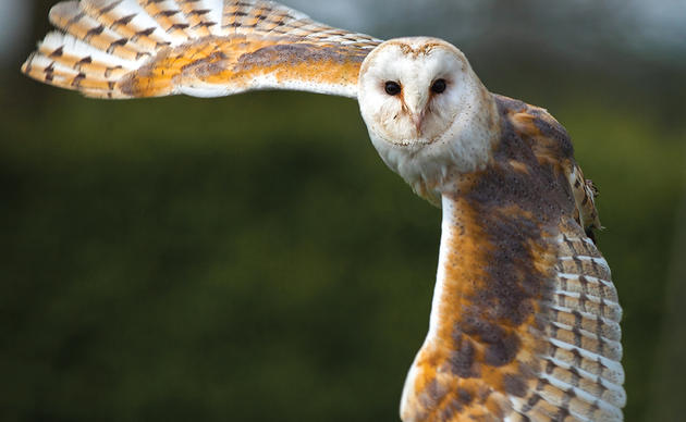
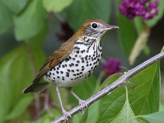
Photo: Mary Smalling
Climate strongholds are regions of North Carolina that are predicted to have suitable climate conditions—including ranges of temperature, precipitation and seasonality — to support numerous species of birds with diverse habitat requirements into the future. Climate strongholds represent areas of the state with high “climate suitability” for birds, but do not include assessments of whether the required habitat exists in those same areas. Climate strongholds can be paired with habitat maps to support conservation planning for birds across the state.
Within this century, four regions of North Carolina are expected to retain suitable climate conditions required by climate-threatened birds with diverse habitat needs. These climate stronghold regions include:
An additional Coastal stronghold indicates which of North Carolina’s Important Bird Areas (IBAs) are threatened by sea level rise associated with climate change.
Audubon North Carolina’s climate stronghold mapping project is a follow-up study to Audubon’s 2014 Birds and Climate Change Report, a first-of-its kind, peer-reviewed study that predicts how climate change could affect the ranges of 588 North American birds within this century. Audubon scientists used three decades of citizen-scientist observations from the Audubon Christmas Bird Count and the North American Breeding Bird Survey to define each bird species“climatic suitability,” or the range of temperatures, precipitation and seasonal changes each species needs to survive. Then, using internationally recognized scenarios for future greenhouse gas emissions, they mapped where each bird’s preferred climatic range may be found in the future as the climate changes.
Using Audubon’s 2014 Birds and Climate Change report as the input, this climate stronghold mapping project identified the highest priority (top 10%) bird conservation areas in a changing climate. To ensure a robust outcome, multiple emissions and climate scenarios were included, as well as a range of assumptions on how individual species may respond to a changing climate. Audubon then mapped climate strongholds for suites of species grouped into habitat guilds—coniferous forest, deciduous forest, open/agricultural and high elevation—to ensure suitable climate areas were captured for birds with different habitat requirements. The resulting climate strongholds are the regions of North Carolina that are predicted to have the most suitable climate conditions for each of the four habitat guilds.
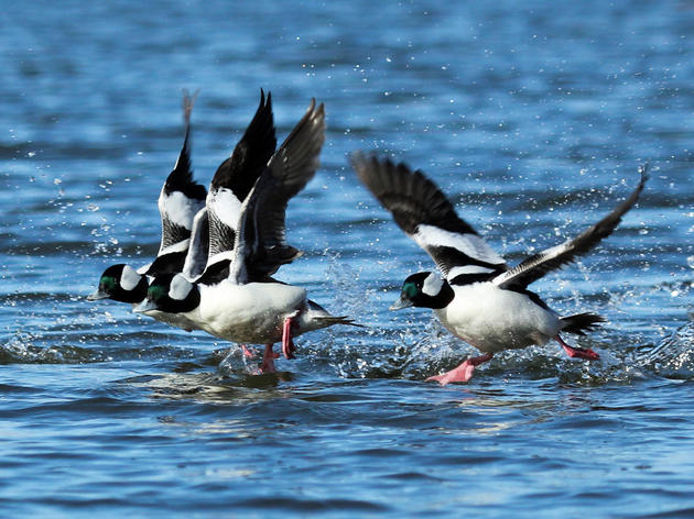
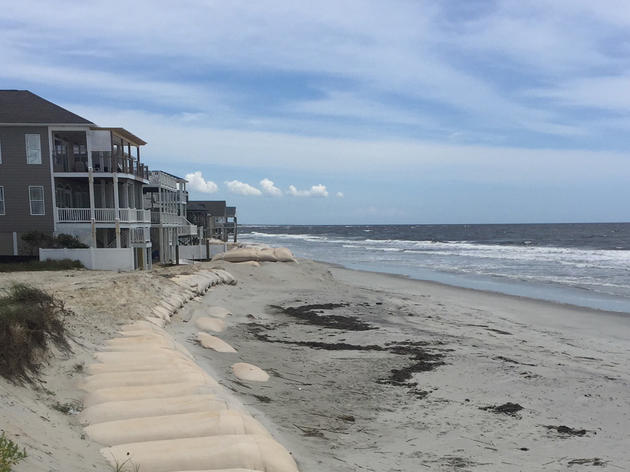
Because rising sea-levels, more than changes in temperature or precipitation, will impact waterfowl and shorebirds, we conducted a separate, preliminary analysis to estimate the extent of North Carolina Important Bird Areas (IBAs) likely to be threatened by sea level rise. According to the National Climate Assessment, global sea levels are projected to rise 1 to 4 feet by 2100. In the next 30 years alone, the NC Coastal Resources Commission estimates parts of North Carolina’s coast could experience up to 10.6 inches of sea level rise, depending on levels of greenhouse gas emissions in the atmosphere.To identify IBAs most susceptible to flooding, we identified the areas that would experience flooding at 1 foot of sea level rise by overlaying sea level rise data from the National Oceanic and Atmospheric Administration (NOAA) on top of IBA boundaries and excluding existing open water areas by limiting the analysis to the state land border.
Some disclaimers from NOAA on use of their data set: “The data and maps in this tool illustrate the scale of potential flooding, not the exact location, and do not account for erosion, subsidence, or future construction. Water levels are shown as they would appear during the highest high tides (excludes wind driven tides). The data, maps, and information provided should be used only as a screening-level tool for management decisions. As with all remotely sensed data, all features should be verified with a site visit…This tool should be used strictly as a planning reference tool and not for navigation, permitting, or other legal purposes…The data in the map do not consider natural processes such as erosion or marsh migration that will be affected by future sea level rise…The data may not completely capture the area’s hydrology, such as canals, ditches, and stormwater infrastructure.”
Some North Carolina birds are expected to remain common throughout the state and may even expand their range as the climate changes. The Carolina Wren and Northern Cardinal, for example, may see their ranges remain the same or even grow in response to climate change. However, hundreds of other birds more sensitive to changing climate conditions are likely to see their ranges shrink or experience significant shifts. So, while we will continue to see birds outside of climate strongholds into the future, the number of species will likely decline and the composition of birds seen in our state will change. Even if you don’t live in a climate stronghold area, planting native plants and making communities more bird-friendly can play an import role in boosting populations of climate-threatened birds in the short term and help them become more climate resilient in the future.
Not necessarily. Suitable climate conditions must be paired with suitable habitat and food sources for birds to succeed. For example, many Piedmont bird species that require open spaces, agricultural land or early successional habitat (grassy, shrubby areas), are expected to shift their range northwest into the mountains in search of cooler and wetter climate conditions as the climate changes. While the climate conditions in the mountains may be suitable for these birds, densely forested mountains may not support their habitat requirements. Additionally, climate change can have significant effects on plants and insects upon which birds depend. For these reasons, it is critical not only to protect and create suitable habitat within climate strongholds in the short term, but also to reduce carbon pollution by transitioning to bird-friendly clean energy.
Absolutely. Existing Important Bird Areas (IBAs) continue to be iconic areas with rich habitat that support some of the largest and most diverse populations of birds today. We need to continue to protect IBAs now and into the future, especially since Audubon aims to slow, stop and reverse climate change by encouraging a transition to bird-friendly clean energy. IBAs play an import role in boosting populations of climate threatened birds in the short term and help them become more climate resilient in the future. Additionally, Audubon’s climate stronghold mapping was done at a macro, regional scale and may not account for smaller, more localized areas that may be suitable for birds including local streams, rivers and lakes.
Climate strongholds represent an additional layer of focus where Audubon and conservation partners should redouble their efforts to ensure that habitat is protected from development, including managing forests in a bird-friendly way, and encouraging homeowners and businesses to add native plants to their yards. These are the places where climate conditions are most likely to be suitable for birds and where it is critical that we ensure habitat exists to provide food, water and areas for nesting. Areas that are both IBAs and climate strongholds warrant special attention for protection.
To request Esri shapefiles of the data in the web maps on this site, please fill out the data request form here http://web4.audubon.org/bird/iba/IBADataRequest.html. Be sure to indicate that you would like to request the NC IBA data and Climate Strongholds layer. Data can also be found on ArcGISonline and be pulled into web maps. Just search for the tag “climate”.
For speaking or media inquiries, please contact Ben Graham at ben.graham@audubon.org
For questions about the climate stronghold mapping project, methodology or access to the maps, please contact Curtis Smalling at curtis.smalling@audubon.org or 828-265-0198.
Birds need YOU! Get involved in helping to preserve our birds and their habitats today. There is something for everyone!
Help secure the future for birds at risk from climate change, habitat loss and other threats. Your support will power our science, education, advocacy and on-the-ground conservation efforts.

Keep up-to-date on all that happens with Audubon North Carolina's research, events and volunteer opportunities.