Events
Join Us
Type in your search and hit Enter on desktop or hit Go on mobile device
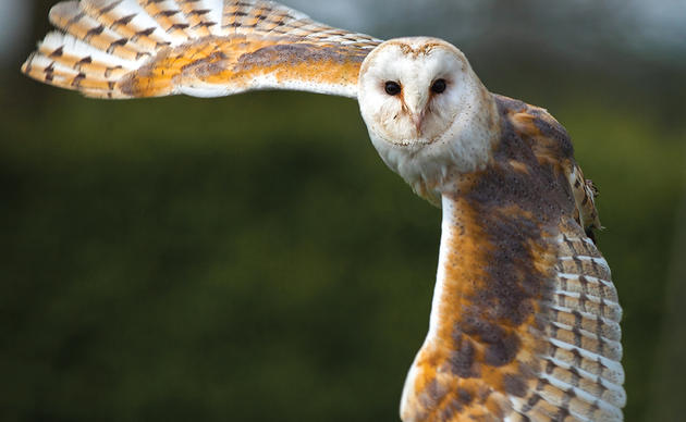
Explore the epic journeys of migratory birds to, from, and through the Tar Heel state, and the challenges they face along the wa
Photo: Bird Migration Explorer
Get a glimpse into breathtaking feats of migration across North Carolina with the new Bird Migration Explorer. This revolutionary new tool by Audubon and our partners shows the tracks of birds on their epic journeys, from Broad-winged Hawks soaring down the spine of the Appalachians to waves of songbirds traveling through our towns and cities overnight.
The Explorer is a free, interactive platform and is available in English and Spanish.
What Does it Tell us About North Carolina?
We know that migratory birds connect us to places across the hemisphere.
For example, a project by Forsyth Audubon and Belize Audubon Society found that at least some of our Wood Thrushes travel to spend the winter in the small Central American country. On the North Carolina coast, Black Skimmers and American Oystercatchers tagged by our staff are regularly re-sighted as far away as Florida and New Jersey. And a new Motus tower at Lea Island, installed in partnership with Cape Fear Audubon and UNC Wilmington's Danner Lab, is already revealing new bird connections from as far away at Canada's Hudson Bay.
The Bird Migration Explorer brings this kind of data together in one place and allows anyone to explore the incredible journeys that birds make. It also lays out the conservation challenges they face along their journeys. Here are a few North Carolina highlights.
Common Tern
This map shows the movements of Common Tern across their range, including important habitat on the North Carolina coast.
Black-throated Blue Warbler
Use the conservation challenges feature of the Explorer to see the dangers birds face on their journeys. For example, the Light Pollution map identifies North Carolina’s largest metro areas (the Triad, Triangle, and Charlotte) as having the same light pollution threat level for birds as the DC-to-New York City corridor.
You can plug in specific species, like the Black-throated Blue Warbler map below, to watch as the birds migrate across the Piedmont and face an elevated threat from light pollution.
Wood Thrush
Another example is the Wood Thrush, a songbird with a beautiful, flute-like song that is losing habitat to suburban development across the state, but particularly in the Appalachian Mountains. You can now visualize the bird’s migratory path and the threat it faces along the way from development.
More About the Bird Migration Explorer
The Bird Migration Explorer brings together three types of geospatial bird data: abundance data from Cornell Lab of Ornithology’s eBird Status models; connectivity data from the USGS Eastern Ecological Science Center Bird Banding Lab and Bird Genoscape Project; and tracking data from Birds Canada, the Smithsonian Migratory Bird Center and hundreds of researchers from across the globe, who generously contributed their datasets to this project. Audubon scientists and cartographers consolidated these data to create animated and interactive visualizations to bring species migration to life on a map.
The Bird Migration Explorer includes:
Learn more by visiting the Bird Migration Explorer today.
Help secure the future for birds at risk from climate change, habitat loss and other threats. Your support will power our science, education, advocacy and on-the-ground conservation efforts.

Keep up-to-date on all that happens with Audubon North Carolina's research, events and volunteer opportunities.